
Cheshire is a ceremonial county in North West England. It is bordered by several counties: Merseyside to the northwest, Greater Manchester to the northeast, Derbyshire to the east, Staffordshire to the southeast, Shropshire to the south, and the Welsh counties of Flintshire and Wrexham to the west.[1] Cheshire covers an area of approximately 905 square miles (2,344 km²).[2] The largest town in Cheshire is Warrington, with a population of around 211,200 people.[3]

Research your ancestors on MyHeritage
Cheshire: landscape, industry, agriculture, and attractions
The landscape of Cheshire is dominated by the Cheshire Plain, an area of relatively flat land divided by the Mid-Cheshire Ridge. To the west, Cheshire contains the south of the Wirral Peninsula, and to the east, the landscape rises to the Pennines, where the county contains part of the Peak District National Park.
The chemical Industry in Cheshire County has been historically significant, with salt mining dating back to Roman times. Modern chemical companies are based around Northwich and Runcorn.[4] The county is home to manufacturing plants for Bentley and Vauxhall Motors.[5] Tourism plays a vital role in the continuing economic success and development of both Cheshire East and the North West region as a whole. It remains one of the fastest growing areas of the Cheshire East economy and is worth £879 million to the local area; employing 9,179 full-time equivalent. Cheshire has a rich history of mining, particularly for salt. The salt beds beneath Northwich were discovered in the 17th century, leading to a long history of salt extraction in the area. Coal mining was also present, particularly in the Pennine fringe and Neston.[6]
Cheshire is mainly a rural county with 70% of the County’s land still remaining in agricultural production. with dairy farming predominating.[7] The county is particularly known for its cheese-making.[8] Cheshire offers a variety of attractions. Chester Zoo is one of the UK’s largest and most popular zoos, Chester Cathedral is a historic cathedral with stunning architecture. Tatton Park is a historic estate with gardens, a mansion, and a farm. Jodrell Bank is a world-renowned observatory and science center.
Cheshire history
Cheshire has been inhabited since the Hoxnian Interglacial period, between 400,000 and 380,000 years ago.[9] Primitive tools from this era have been found, indicating early human presence. During the Neolithic period, more permanent settlements appeared, such as the Bridestones, a chambered tomb near Congleton.
The Romans occupied Cheshire for nearly 400 years, starting around 70 AD. They established the town and fort of Deva Victrix, now known as Chester. This site became a significant military base and a center for commerce.[10] After the Romans withdrew, Cheshire became part of the Anglo-Saxon kingdom of Mercia around 830 AD.[11] The area saw invasions from the Welsh and Danes during this period.[12]
The 18th century saw significant changes in Cheshire, particularly with the onset of the Industrial Revolution. The county experienced population growth and urbanization, with new towns emerging and existing ones expanding. The mining of rock salt in towns like Northwich, Middlewich, and Nantwich contributed to the local economy.[13] The 19th century continued the trend of industrialization. The expansion of Manchester into northeastern Cheshire and the development of the chemical industry solidified Cheshire’s position as a major industrial area. The establishment of the Cheshire County Council in 1888 marked a shift in local governance.[13]
In the 20th and 21st centuries, Cheshire has evolved into a ceremonial county administered by four unitary authorities: Cheshire East, Cheshire West and Chester, Halton, and Warrington. The county has retained its historical offices of Lord Lieutenant and High Sheriff for ceremonial purposes.[14]
Cheshire parishes and unparished areas
In 2009 the administrative county of Cheshire, which had comprised six districts—the city of Chester and the boroughs of Congleton, Crewe and Nantwich, Ellesmere Port and Neston, Macclesfield, and Vale Royal were abolished and reconstituted as two unitary authorities, Cheshire East, Cheshire West, and Chester. The geographic county comprises the entire former administrative county and the unitary authorities of Halton and Warrington. The historic county excludes the parts of the two unitary authorities north of the River Mersey, which belong to the historic county of Lancashire, but it encompasses several areas outside the geographic county: the metropolitan borough of Wirral in the metropolitan county of Merseyside; the part of the metropolitan county of Greater Manchester south of the Rivers Mersey and Tame (below Mossley), including parts of the metropolitan boroughs of Oldham, Tameside, Stockport, Manchester, and Trafford; and the north side of Langdendale, in the High Peak district of the administrative county of Derbyshire.[15]
Cheshire Geography
Cheshire county is bounded on the northwest by the Irish Sea. Its extreme length, from northeast. to southwest is 58 miles and its extreme breadth is 40 miles. The average breadth is 18 miles. Cheshire forms, towards the Irish Sea, a flat peninsula, the Wirral Peninsula (12 miles by 7 miles), between the estuaries of the Mersey River and the River Dee, and inland is a vast plain separating the mountains of Wales from those of Derbyshire.[16]
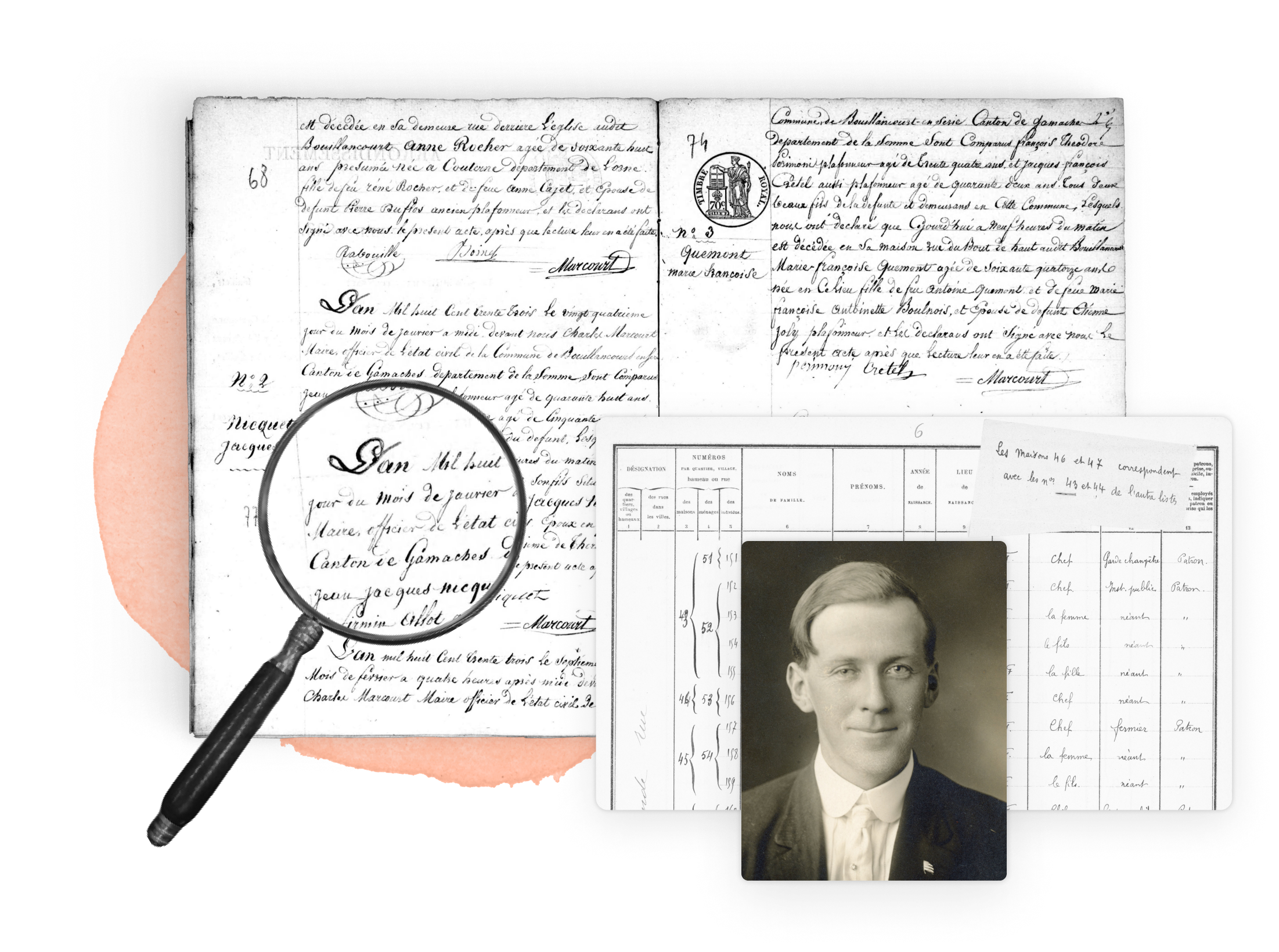
Researching family history in Cheshire
The Cheshire Archives and Local Studies identifies, collects and cares for archives and publications that are the evidence of Cheshire communities’ lives past and present. The Cheshire Archives also has a Quick Guide to Family History. Cheshire BMD contains indexes to most of the records held by the Cheshire registrars. The indexes on the General Register Office website contain extra information for births before 1912 and deaths before 1866.
Ethnicities in Cheshire
The demographic distribution of the Cheshire County population is as follows:[17]
94.8% of the Cheshire County population is white. Additional ethnic groups have populations as follows: Asian 2.3%, Black 0.6%, Mixed 1.6%, and other 0.7%.
Surnames in Cheshire
See also
- English genealogy
- English immigration
- English emigration
- English archives
- England historical records
- Vital records in England
- Birth records in England
- Death records in England
- Marriage records in England
- Census records in England
- Civil registrations in England
- Church records in England
- Newspaper records in England
- English military records
Explore more about English Counties
MyHeritage.com has 351 collections that contain millions of English records that cover a huge variety of genealogical historical events that can help you find your ancestors. The MyHeritage Knowledge Base contains helpful information about genealogical research. The Legacy Family Tree Webinars website contains more than 2000 valuable genealogical webinars including over 50 webinars about English research.
References
- ↑ Map Of Cheshire, England - County Map Of Cheshire
- ↑ Community Risk Management Plan 2024 -2028
- ↑ Warrington | Cheshire, River Mersey, Industrial Revolution | Britannica
- ↑ Chemical Manufactories in Cheshire
- ↑ Manufacturing and Engineering
- ↑ Tourism Sector
- ↑ Farming Information
- ↑ Cheshire - Academy Of Cheese
- ↑ The human occupation of Britain during the Hoxnian Interglacial
- ↑ Roman forts and settlements in Cheshire
- ↑ Mercia | Anglo-Saxon, Heptarchy, Wessex | Britannica
- ↑ Anglo Saxon Runcorn
- ↑ 13.0 13.1 Cheshire 1750 to 1900: Part 1 – Wilcuma
- ↑ Cheshire since 1900 – Wilcuma
- ↑ Cheshire | England, Map, History, & Facts | Britannica
- ↑ Genuki: Cheshire, Cheshire
- ↑ Cheshire Census 2021
- ↑ Most Common Last Names In Cheshire