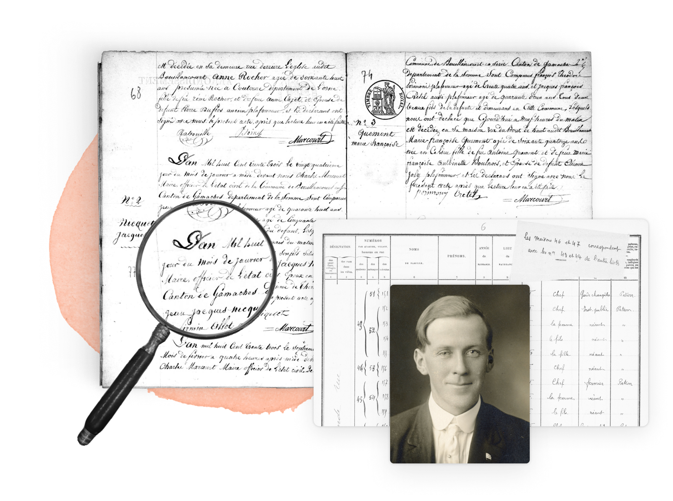
Massachusetts maps are invaluable for genealogists tracing families from colonial times to the modern era. Town maps, county atlases, and land ownership maps date back to the 17th century. Because Massachusetts was settled early, detailed maps exist for many towns and parishes. Sanborn Fire Insurance maps provide street-level detail for urban areas, while agricultural maps and coastal charts reveal economic and geographic influences. Changing county and town boundaries make maps essential for identifying correct jurisdictions in different periods. The Massachusetts State Archives, Boston Public Library, and local historical societies host rich collections. These maps help genealogists place ancestors in the evolving landscape of one of America’s most historic states.
Research your ancestors on MyHeritage
Collections available in Massachusetts
|
Gazetteer of Berkshire County, Massachusetts, 1725-1885 (1885) |
Search historical records in the United States
- Alabama
- Alaska
- Arizona
- Arkansas
- California
- Colorado
- Connecticut
- Delaware
- District of Columbia
- Florida
- Georgia
- Hawaii
- Idaho
- Illinois
- Indiana
- Iowa
- Kansas
- Kentucky
- Louisiana
- Maine
- Maryland
- Massachusetts
- Michigan
- Minnesota
- Mississippi
- Missouri
- Montana
- Nebraska
- Nevada
- New Hampshire
- New Jersey
- New Mexico
- New York
- North Carolina
- North Dakota
- Ohio
- Oklahoma
- Oregon
- Pennsylvania
- Rhode Island
- South Carolina
- South Dakota
- Tennessee
- Texas
- Utah
- Vermont
- Virginia
- Washington
- West Virginia
- Wisconsin
- Wyoming


