
Size of this WEBP preview of this JPG file: 407 × 599 pixels. Other resolutions: 163 × 240 pixels | 326 × 480 pixels | 522 × 768 pixels.
Original file (1,036 × 1,525 pixels, file size: 138 KB, MIME type: image/jpeg)
Summary
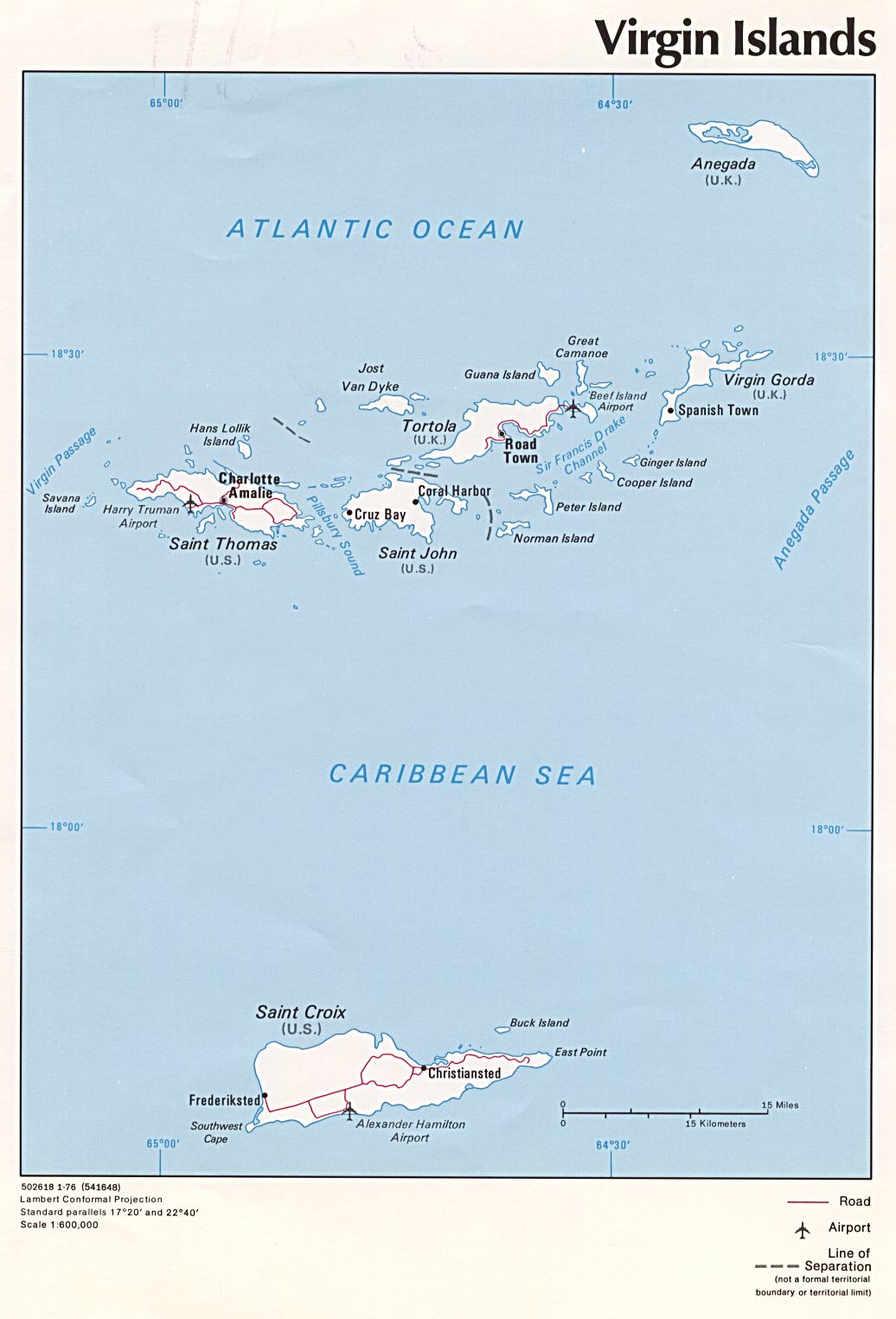
| Description | Political map of U.S. Virgin Islands and British Virgin Islands, 1976, produced by the U.S. Central Intelligence Agency. |
| Date | |
| Source | University of Texas Libraries, Perry-Castañeda Library Map Collection: Americas Maps |
| Author | CIA |
| Other versions |
|




Licensing

|
This image is a work of a Central Intelligence Agency employee, taken or made as part of that person's official duties. As a Work of the United States Government, this image or media is in the public domain in the United States.
|

|
File history
Click on a date/time to view the file as it appeared at that time.
| Date/Time | Thumbnail | Dimensions | User | Comment | |
|---|---|---|---|---|---|
| current | 13:02, 3 July 2005 | | 1,036 × 1,525 (138 KB) | wikimediacommons>Kooma | CIA map of U.S. Virgin Islands and British Virgin Islands from [http://www.lib.utexas.edu/maps/americas/virginislands.jpg]. {{PD-USGov-CIA}} Category:Caribbean |
File usage
The following page uses this file:
